Relief — Study Plan
ICSE · Class 12 · Geography
A step-by-step study plan for Relief, ICSE Class 12 Geography: what to learn first, what to practise and when to revise.
Interactive on Super Tutor
Studying Relief? Get the full interactive chapter.
Quizzes, flashcards, AI doubt-solver and a step-by-step study plan — built for study plan and more.
Free trial, no card needed.
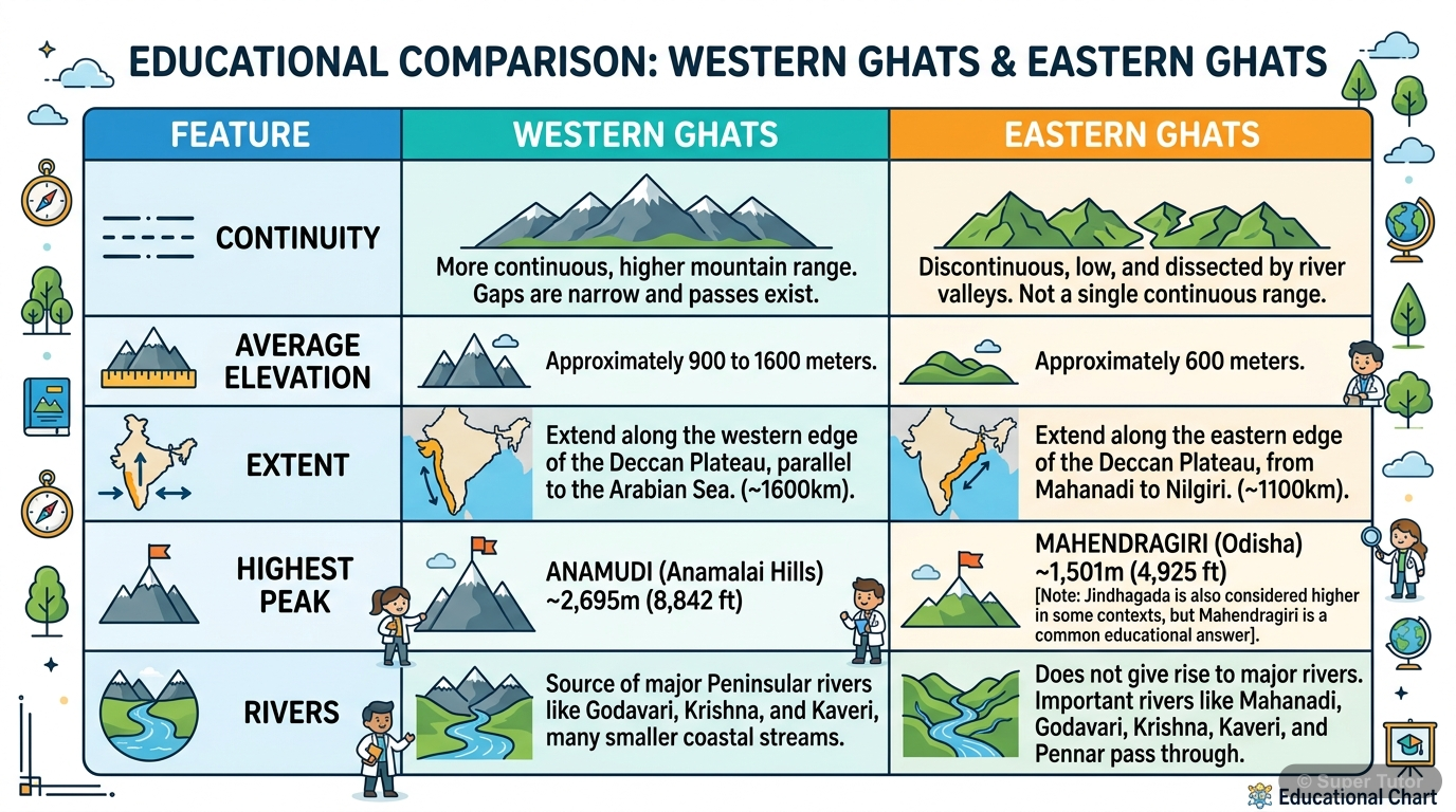
An illustration from Super Tutor's Relief chapter — alongside flashcards, concept maps and practice questions.
Study Plan
Learn the Theory
Read the textbook chapter carefully. Note down definitions, formulas and key ideas. Focus on: 1. Major Relief Divisions of India, 2. The Himalayan Mountain Complex, 3. Relief Features of the Great Plain of North India.
Practise
Solve the textbook exercises and extra practice questions. There are 45 questions available for this chapter.
Revise & Test
Revise key points without looking at your notes. Take a practice quiz and mark weak areas for another pass.
Spaced Revision
Come back to Relief after a week. Use flashcards for quick recall and try past exam questions on this chapter.
What to Focus On
- India has a great variety of relief features.
- The five main relief divisions are mountains, plains, plateau, coastal plains, and islands.
- The Himalayan region is young, the plateau is old, and the plains are depositional.
- The Himalayas extend for about 2,400 km from the Indus to the Brahmaputra.
- The three parallel ranges are Great Himalayas, Lesser Himalayas, and Shiwaliks.
- Great Himalayas are the highest and always snow-covered.
- The plain was formed mainly by river deposition.
- It stretches 2,400 km from Satluj to the Ganga delta.
- Its width varies from 150 to 300 km.
Common Mistakes to Avoid
The Great Himalayas contain K2, so K2 is the highest peak of the Great Himalayas.
Bhabar is the fertile wet belt and Tarai is the dry porous belt.
Bhangar is the newer, more fertile flood plain and Khadar is the older upland terrace.
Memory Tips
Three parallel Himalayan ranges
Great Himalayas
Important peaks of the Great Himalayas
Lesser Himalayas
Want a personalised study plan?
Super Tutor builds a day-by-day plan for ICSE Class 12 Geography that fits your exam date and pace.
Create My Study PlanFrequently Asked Questions
What are the important topics in Relief for ICSE Class 12 Geography?
How should I revise Relief for the ICSE Class 12 board exam?
Sources & Official References
Content is aligned to the official syllabus. Refer to the board website for the latest curriculum.
More resources for Relief
Practice Quiz
Test yourself with a quick quiz
Important Questions
Exam-style questions with answers
Revision Notes
Key points for last-minute revision
Chapter Summary
Understand the chapter at a glance
Concept Maps
See how topics connect
Flashcards
Quick-fire cards for active recall
Syllabus
What topics to cover
For serious students
Get the full Relief chapter — start free.
Quizzes, flashcards, an AI doubt solver and a study plan for ICSE Class 12 Geography. Free to start, no card needed.