Representation of Geographical Features — Concept Maps
ICSE · Class 6 · Geography
4 concept maps of Representation of Geographical Features for ICSE Class 6 Geography, each also written out as a text outline.
Interactive on Super Tutor
Studying Representation of Geographical Features? Get the full interactive chapter.
Quizzes, flashcards, AI doubt-solver and a step-by-step study plan — built for concept maps and more.
Free trial, no card needed.
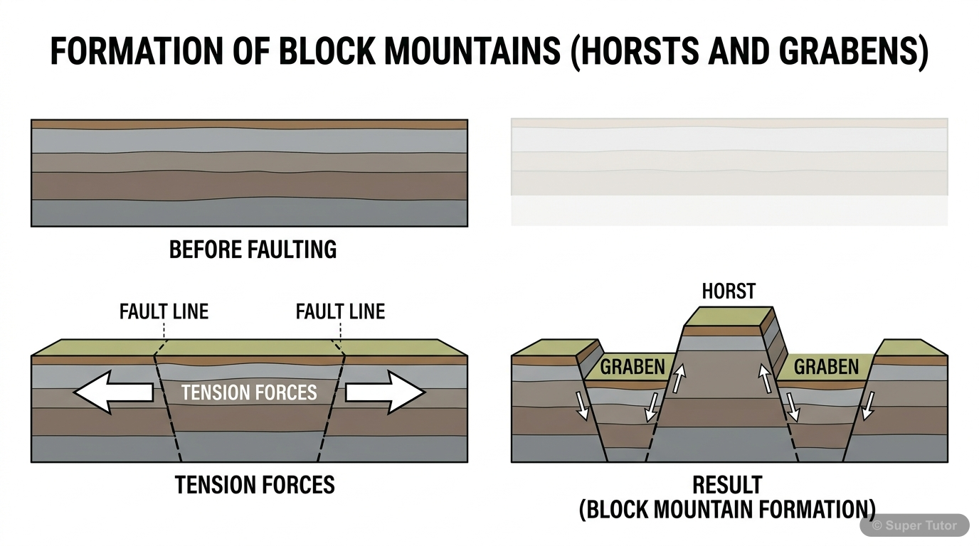
An illustration from Super Tutor's Representation of Geographical Features chapter — alongside flashcards, concept maps and practice questions.
Mind map showing the advantages, disadvantages, and uses of globes
The map in words
- Globe
- Advantages
- Accurate representation
- True shapes preserved
- Correct proportions
- Disadvantages
- Difficult to carry
- Limited view at once
- Expensive
- Uses
- Education
- Reference
- Understanding Earth
- Advantages
Flowchart comparing sketch, plan, map, and globe with their key characteristics
The map in words
- Geographical Representations
- Sketch
- Rough Drawing
- Not to Scale
- Quick Location
- Plan
- Detailed Drawing
- Small Area
- To Scale
- Map
- Flat Surface
- Larger Area
- To Scale
- Globe
- 3D Model
- Spherical
- Accurate Proportions
- Sketch
Mind map showing various uses and importance of maps in different fields
The map in words
- Importance of Maps
- Navigation
- Finding routes
- Travel planning
- GPS systems
- Planning
- City development
- Infrastructure
- Resource management
- Education
- Learning geography
- Understanding patterns
- Cultural awareness
- Professional Use
- Military operations
- Business expansion
- Scientific research
- Navigation
Maps and Their Components
The map in words
- Maps and Their Components
- Globe
- Map
- Sketch
- Plan
- Types of Maps
- Components of a Map
- Directions
- Scale
Explore these maps interactively
Explore DiagramsFrequently Asked Questions
What are the important topics in Representation of Geographical Features for ICSE Class 6 Geography?
What do the concept maps for Representation of Geographical Features show?
How should I revise Representation of Geographical Features for Class 6 exams?
Sources & Official References
Content is aligned to the official syllabus. Refer to the board website for the latest curriculum.
More resources for Representation of Geographical Features
Practice Quiz
Test yourself with a quick quiz
Important Questions
Exam-style questions with answers
Revision Notes
Key points for last-minute revision
Formula Sheet
The chapter's formulas in one place
Chapter Summary
Understand the chapter at a glance
Study Plan
Step-by-step plan for this chapter
Flashcards
Quick-fire cards for active recall
Syllabus
What topics to cover
For serious students
Get the full Representation of Geographical Features chapter — start free.
Quizzes, flashcards, an AI doubt solver and a study plan for ICSE Class 6 Geography. Free to start, no card needed.