Representation of Geographical Features — Flashcards
ICSE · Class 6 · Geography
30 flashcards for Representation of Geographical Features (ICSE Class 6 Geography) to test yourself on key terms and facts. Sample: "What is a globe?"
Interactive on Super Tutor
Studying Representation of Geographical Features? Get the full interactive chapter.
Quizzes, flashcards, AI doubt-solver and a step-by-step study plan — built for flashcards and more.
Free trial, no card needed.
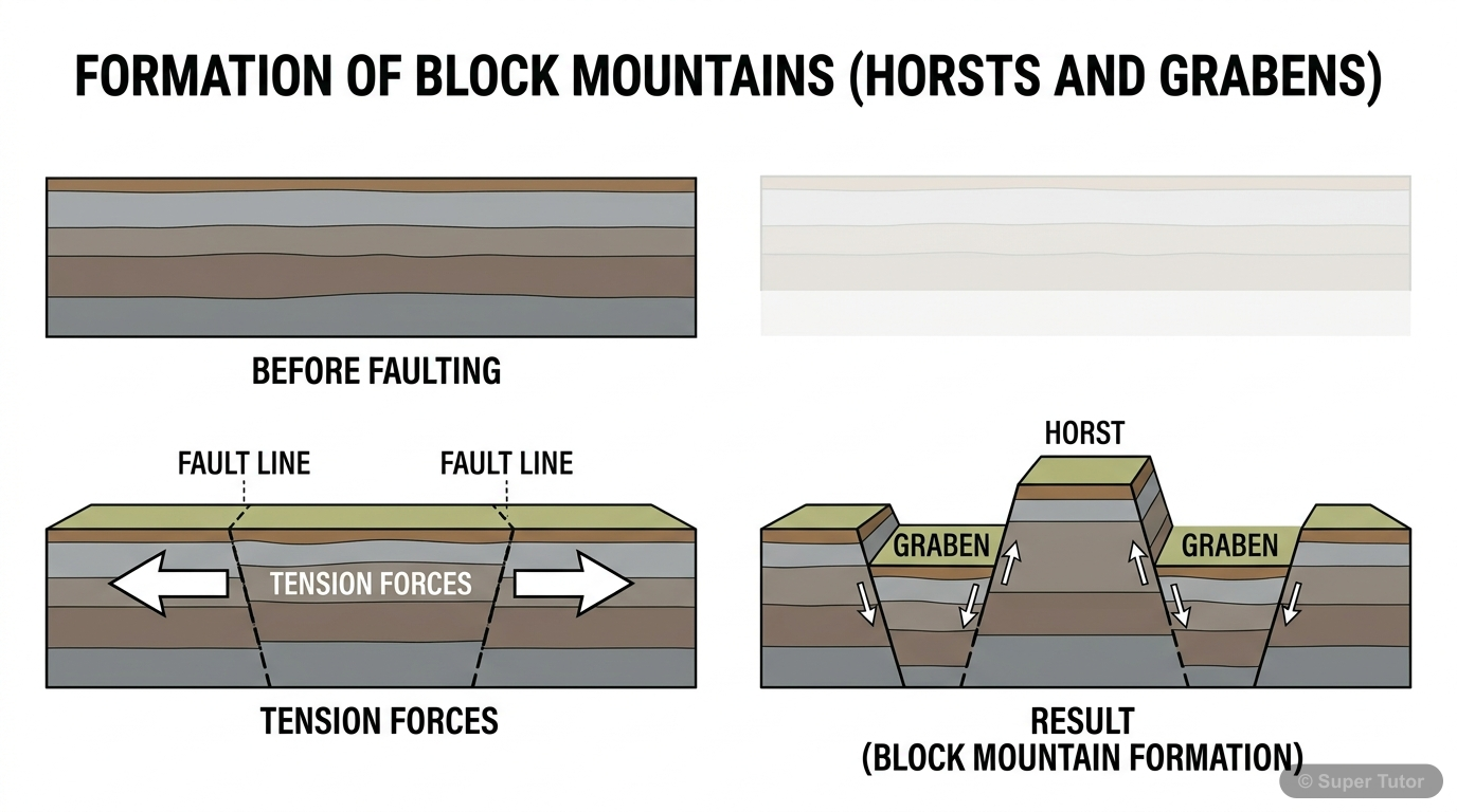
An illustration from Super Tutor's Representation of Geographical Features chapter — alongside flashcards, concept maps and practice questions.
What is a globe?
Answer
A globe is a three-dimensional spherical model of the Earth. It shows the correct shape, size, and location of continents, oceans, and countries. Unlike maps, a globe is not drawn to scale and only sh…
Define a map.
Answer
A map is a two-dimensional representation of the Earth or a part of it, drawn to scale on a flat surface. It helps us understand locations, directions, distances, and physical or political features. E…
What is the difference between a sketch and a map?
Answer
A sketch is a rough drawing not drawn to scale and used to show general directions or locations. A map is drawn to scale and includes accurate details like directions, distances, and symbols. Example:…
What is a plan?
Answer
A plan is a large-scale drawing of a small area like a building, house, or village. It is drawn to scale and shows detailed features. Example: A house plan showing rooms, doors, and windows.
Compare large-scale and small-scale maps.
Answer
Large-scale maps show small areas with great detail (e.g., a village map). Small-scale maps show large areas with less detail (e.g., a world map). Example: A city map (large scale) vs. a country map (…
What are the two main types of maps based on scale?
Answer
The two main types are: (1) Large-scale maps – show small areas in detail (e.g., cadastral maps), and (2) Small-scale maps – show large areas with less detail (e.g., atlas maps or wall maps).
Name the three types of scale used in maps.
Answer
The three types are: (1) Verbal scale (e.g., 1 cm = 1 km), (2) Representative Fraction (R.F.) (e.g., 1:50,000), and (3) Linear or Graphical scale (a line marked with distances).
What is Representative Fraction (R.F.)?
Answer
R.F. is a way of showing scale as a ratio. It means 1 unit on the map equals so many units on the ground. Example: R.F. 1:50,000 means 1 cm on the map = 50,000 cm (or 500 m) on the ground.
+22 more flashcards
Practise AllFrequently Asked Questions
What are the important topics in Representation of Geographical Features for ICSE Class 6 Geography?
How many flashcards are available for Representation of Geographical Features?
How should I revise Representation of Geographical Features for Class 6 exams?
Sources & Official References
Content is aligned to the official syllabus. Refer to the board website for the latest curriculum.
More resources for Representation of Geographical Features
Practice Quiz
Test yourself with a quick quiz
Important Questions
Exam-style questions with answers
Revision Notes
Key points for last-minute revision
Formula Sheet
The chapter's formulas in one place
Chapter Summary
Understand the chapter at a glance
Concept Maps
See how topics connect
Study Plan
Step-by-step plan for this chapter
Syllabus
What topics to cover
For serious students
Get the full Representation of Geographical Features chapter — start free.
Quizzes, flashcards, an AI doubt solver and a study plan for ICSE Class 6 Geography. Free to start, no card needed.