Representation of Geographical Features — Study Plan
ICSE · Class 6 · Geography
A step-by-step study plan for Representation of Geographical Features, ICSE Class 6 Geography: what to learn first, what to practise and when to revise.
Interactive on Super Tutor
Studying Representation of Geographical Features? Get the full interactive chapter.
Quizzes, flashcards, AI doubt-solver and a step-by-step study plan — built for study plan and more.
Free trial, no card needed.
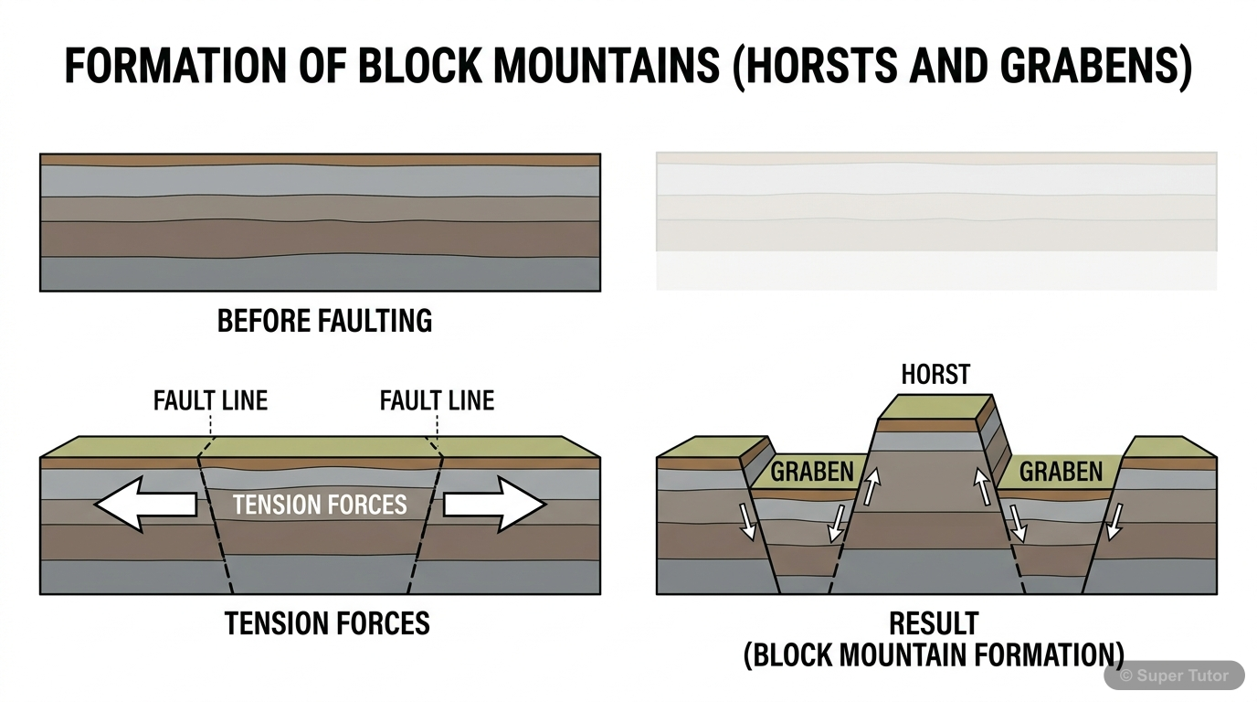
An illustration from Super Tutor's Representation of Geographical Features chapter — alongside flashcards, concept maps and practice questions.
Study Plan
Learn the Theory
Read the textbook chapter carefully. Note down definitions, formulas and key ideas. Focus on: Globe, Map, Sketch, and Plan, Types of Maps, Components of a Map.
Practise
Solve the textbook exercises and extra practice questions. There are 90 questions available for this chapter.
Revise & Test
Revise key points without looking at your notes. Take a practice quiz and mark weak areas for another pass.
Spaced Revision
Come back to Representation of Geographical Features after a week. Use flashcards for quick recall and try past exam questions on this chapter.
What to Focus On
- Globe is a 3D model of the Earth.
- Shows accurate shapes and sizes of continents and oceans.
- Only one side is visible at a time.
- Map is a flat drawing of the Earth or part of it.
- Drawn to scale.
- Used to show physical, political, or thematic information.
- Sketch: rough, no scale, quick idea.
- Plan: scaled drawing of small area, detailed.
- Map: scaled, detailed, covers large area.
Common Mistakes to Avoid
All maps show the real shape and size of countries accurately.
Large scale maps show large areas like continents or countries.
The scale on a map is just for decoration and not necessary.
Memory Tips
Difference between Globe, Map, Sketch, and Plan
Four Cardinal Directions: North, South, East, West
Eight Cardinal Points
Types of Maps Based on Scale: Large and Small Scale
Want a personalised study plan?
Super Tutor builds a day-by-day plan for ICSE Class 6 Geography that fits your exam date and pace.
Create My Study PlanFrequently Asked Questions
What are the important topics in Representation of Geographical Features for ICSE Class 6 Geography?
How should I revise Representation of Geographical Features for Class 6 exams?
Sources & Official References
Content is aligned to the official syllabus. Refer to the board website for the latest curriculum.
More resources for Representation of Geographical Features
Practice Quiz
Test yourself with a quick quiz
Important Questions
Exam-style questions with answers
Revision Notes
Key points for last-minute revision
Formula Sheet
The chapter's formulas in one place
Chapter Summary
Understand the chapter at a glance
Concept Maps
See how topics connect
Flashcards
Quick-fire cards for active recall
Syllabus
What topics to cover
For serious students
Get the full Representation of Geographical Features chapter — start free.
Quizzes, flashcards, an AI doubt solver and a study plan for ICSE Class 6 Geography. Free to start, no card needed.