Representation of Geographical Features — Syllabus
ICSE · Class 6 · Geography
What Representation of Geographical Features covers in ICSE Class 6 Geography: 4 topics, for the 2026-27 session.
Interactive on Super Tutor
Studying Representation of Geographical Features? Get the full interactive chapter.
Quizzes, flashcards, AI doubt-solver and a step-by-step study plan — built for syllabus and more.
Free trial, no card needed.
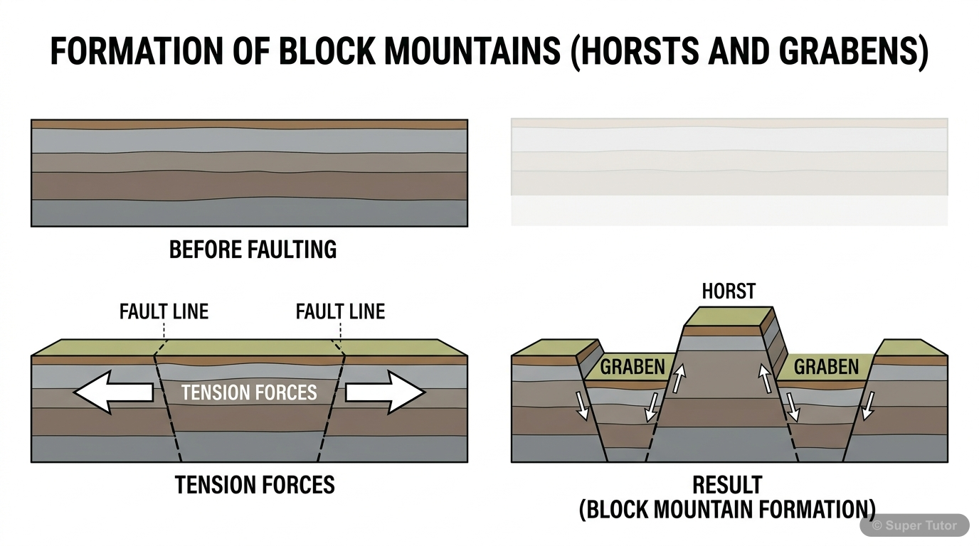
An illustration from Super Tutor's Representation of Geographical Features chapter — alongside flashcards, concept maps and practice questions.
Topics in Representation of Geographical Features
Globe, Map, Sketch, and Plan
- A globe is a 3D model of the Earth and shows accurate shapes and sizes of continents and oceans.
- A map is a 2D representation of the Earth or a part of it, drawn to scale on a flat surface.
- A sketch is a rough drawing not drawn to scale; it gives a general idea of location.
Types of Maps
- Maps are classified by scale and content.
- Large-scale maps show small areas in detail (e.g., village map).
- Small-scale maps show large areas with less detail (e.g., world map).
Components of a Map
- Every map has three main components: Title, Direction, and Scale.
- The title tells what the map is about (e.g., 'India - Rivers').
- Directions help locate places — North, South, East, West are the four cardinal points.
Types of Scale
- There are three types of scale: Verbal, Representative Fraction (R.F.), and Linear (Graphic) Scale.
- Verbal scale uses words (e.g., '1 cm = 10 km').
- R.F. is a ratio (e.g., 1:1,000,000), meaning 1 unit on map = 1,000,000 units on ground.
Key Concepts
Central concept: Maps and Their Components
Work through every topic in Representation of Geographical Features with notes and quizzes
Start This ChapterFrequently Asked Questions
What are the important topics in Representation of Geographical Features for ICSE Class 6 Geography?
How should I revise Representation of Geographical Features for Class 6 exams?
Sources & Official References
Content is aligned to the official syllabus. Refer to the board website for the latest curriculum.
More resources for Representation of Geographical Features
Practice Quiz
Test yourself with a quick quiz
Important Questions
Exam-style questions with answers
Revision Notes
Key points for last-minute revision
Formula Sheet
The chapter's formulas in one place
Chapter Summary
Understand the chapter at a glance
Concept Maps
See how topics connect
Study Plan
Step-by-step plan for this chapter
Flashcards
Quick-fire cards for active recall
For serious students
Get the full Representation of Geographical Features chapter — start free.
Quizzes, flashcards, an AI doubt solver and a study plan for ICSE Class 6 Geography. Free to start, no card needed.