Representation of Geographical Features — Revision Notes
ICSE · Class 6 · Geography
Representation of Geographical Features revision notes for ICSE Class 6 Geography: 4 topics in quick points. Part of the ICSE Class 6 Geography syllabus.
Interactive on Super Tutor
Studying Representation of Geographical Features? Get the full interactive chapter.
Quizzes, flashcards, AI doubt-solver and a step-by-step study plan — built for revision notes and more.
Free trial, no card needed.
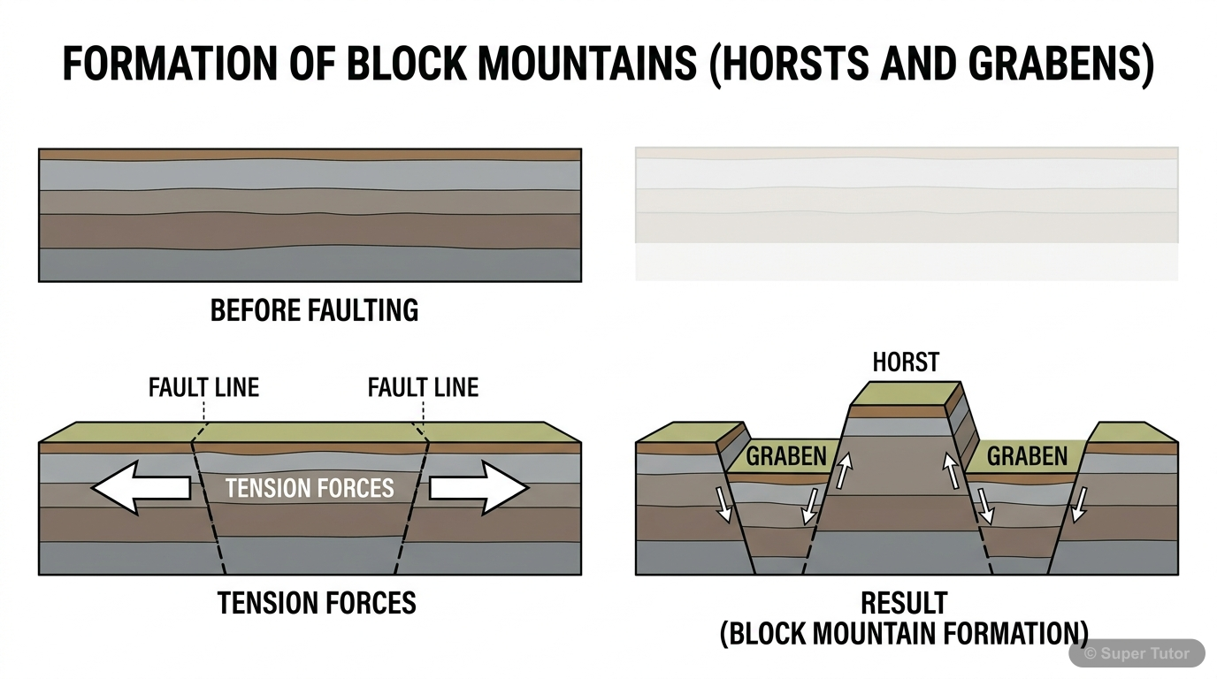
An illustration from Super Tutor's Representation of Geographical Features chapter — alongside flashcards, concept maps and practice questions.
Key Topics to Revise
Globe, Map, Sketch, and Plan
- A globe is a 3D model of the Earth and shows accurate shapes and sizes of continents and oceans.
- A map is a 2D representation of the Earth or a part of it, drawn to scale on a flat surface.
- A sketch is a rough drawing not drawn to scale; it gives a general idea of location.
Types of Maps
- Maps are classified by scale and content.
- Large-scale maps show small areas in detail (e.g., village map).
- Small-scale maps show large areas with less detail (e.g., world map).
Components of a Map
- Every map has three main components: Title, Direction, and Scale.
- The title tells what the map is about (e.g., 'India - Rivers').
- Directions help locate places — North, South, East, West are the four cardinal points.
Types of Scale
- There are three types of scale: Verbal, Representative Fraction (R.F.), and Linear (Graphic) Scale.
- Verbal scale uses words (e.g., '1 cm = 10 km').
- R.F. is a ratio (e.g., 1:1,000,000), meaning 1 unit on map = 1,000,000 units on ground.
Get complete notes with diagrams and examples
Full NotesKey Concepts
Frequently Asked Questions
What are the important topics in Representation of Geographical Features for ICSE Class 6 Geography?
How should I revise Representation of Geographical Features for Class 6 exams?
Sources & Official References
Content is aligned to the official syllabus. Refer to the board website for the latest curriculum.
More resources for Representation of Geographical Features
Practice Quiz
Test yourself with a quick quiz
Important Questions
Exam-style questions with answers
Formula Sheet
The chapter's formulas in one place
Chapter Summary
Understand the chapter at a glance
Concept Maps
See how topics connect
Study Plan
Step-by-step plan for this chapter
Flashcards
Quick-fire cards for active recall
Syllabus
What topics to cover
For serious students
Get the full Representation of Geographical Features chapter — start free.
Quizzes, flashcards, an AI doubt solver and a study plan for ICSE Class 6 Geography. Free to start, no card needed.