Interpretation of Topographical Maps-I — Concept Maps
ICSE · Class 10 · Geography
4 concept maps of Interpretation of Topographical Maps-I for ICSE Class 10 Geography, each also written out as a text outline.
Interactive on Super Tutor
Studying Interpretation of Topographical Maps-I? Get the full interactive chapter.
Quizzes, flashcards, AI doubt-solver and a step-by-step study plan — built for concept maps and more.
Free trial, no card needed.
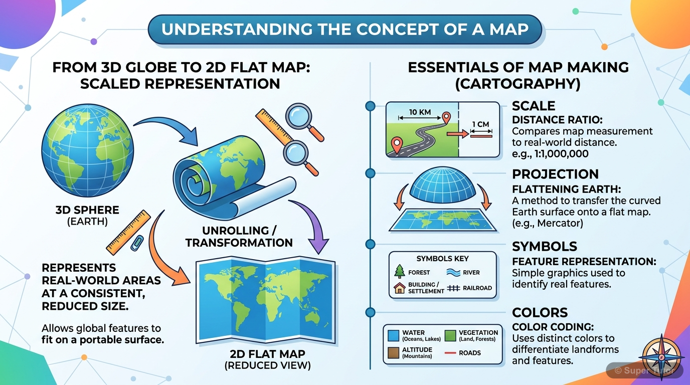
One of 9 illustrations for Interpretation of Topographical Maps-I in Super Tutor — alongside flashcards, concept maps and practice questions.
See them allConventional Colours in Topographical Maps — Correct vs Incorrect Understanding
The map in words
- root((Conventional Colours
- on Topo Sheet))
- Yellow
- CORRECT Cultivable Land
- WRONG Do not say Desert
- White
- CORRECT Rocky or Uncultivable
- CORRECT Stony Waste
- WRONG Do not say Cultivated
- Green
- CORRECT Forest Area
- CORRECT Wooded Regions
- Blue
- CORRECT Perennial Water
- CORRECT Wells Streams Lakes
- WRONG Not all blue is year-round
- Brown
- CORRECT Contour Lines
- CORRECT Heights and Elevations
- CORRECT Sand Dunes
- Orange
- CORRECT Plateau Regions
- Black
- CORRECT Dry Streams
- CORRECT Surveyed Trees
- Red
- CORRECT Permanent Huts
- CORRECT Metalled Roads
- Yellow
Overview of Topographical Maps: Key Components
The map in words
- Topographical Map
- Definition
- Selective
- Symbolised
- Generalised
- Reduced Scale
- History
- British Army 1765
- Survey of India 1767
- James Renell
- George Everest
- Conventional Colours
- Yellow Cultivable Land
- Green Forest
- Blue Perennial Water
- Brown Contour Lines
- White Rocky Barren Land
- Red Roads and Huts
- Features Shown
- Natural Features
- Relief and Contours
- Drainage Rivers
- Vegetation Forest
- Man Made Features
- Roads and Railways
- Settlements
- Public Buildings
- Natural Features
- Types of Maps
- Large Scale
- Small Scale
- Topographical
- Thematic
- Uses
- Defence Army
- Development Planning
- Tourism
- Administration
- Definition
Complete Concept Hierarchy: Topographical Maps
The map in words
- Topographical Maps
- Definition of Maps
- Two Dimensional
- Scaled Representation
- Symbols and Colours
- Map Projections
- Types of Maps
- Large Scale Maps
- More Detail
- Small Area
- Small Scale Maps
- Less Detail
- Large Area
- Large Scale Maps
- Survey of India
- Established 1767
- James Renell First Surveyor General
- Sir George Everest
- Ministry of Science and Technology
- Conventional Colours
- Yellow Cultivable Land
- Green Forest
- Blue Water Bodies
- Brown Contours
- White Rocky Area
- Red Permanent Huts
- Black Dry Streams
- Conventional Signs
- Urban Features
- Settlements
- Public Buildings
- Transport
- Roads
- Railways
- Drainage
- Rivers
- Streams
- Relief
- Contours
- Spot Heights
- Vegetation
- Forests
- Scrub
- Water Bodies
- Wells
- Tanks
- Canals
- Urban Features
- Open Series Maps
- Sheet G43S7 Gujarat
- Sheet G43S10 Rajasthan
- Scale 1 to 50000
- UTM Projection
- Uses of Topo Maps
- Town Planning
- Defence
- Tourism
- Flood Control
- Geography Research
- Definition of Maps
Topographical map interpretation
The map in words
- Topographical map interpretation
- Concept of a map
- Types of maps
- Topographical or Ordnance Survey Map
- History of topographical maps
- Survey of India
- Open Series Maps
- Scale and contour interval
- Conventional colours
Explore these maps interactively
Explore DiagramsFrequently Asked Questions
What are the important topics in Interpretation of Topographical Maps-I for ICSE Class 10 Geography?
What do the concept maps for Interpretation of Topographical Maps-I show?
How should I revise Interpretation of Topographical Maps-I for the ICSE Class 10 board exam?
Sources & Official References
Content is aligned to the official syllabus. Refer to the board website for the latest curriculum.
More resources for Interpretation of Topographical Maps-I
Practice Quiz
Test yourself with a quick quiz
Important Questions
Exam-style questions with answers
Revision Notes
Key points for last-minute revision
Formula Sheet
The chapter's formulas in one place
Chapter Summary
Understand the chapter at a glance
Study Plan
Step-by-step plan for this chapter
Flashcards
Quick-fire cards for active recall
Syllabus
What topics to cover
For serious students
Get the full Interpretation of Topographical Maps-I chapter — start free.
Quizzes, flashcards, an AI doubt solver and a study plan for ICSE Class 10 Geography. Free to start, no card needed.