Interpretation of Topographical Maps-I — Formula Sheet
ICSE · Class 10 · Geography
4 formulas from Interpretation of Topographical Maps-I (ICSE Class 10 Geography) on one page, grouped by topic.
Interactive on Super Tutor
Studying Interpretation of Topographical Maps-I? Get the full interactive chapter.
Quizzes, flashcards, AI doubt-solver and a step-by-step study plan — built for formula sheet and more.
Free trial, no card needed.
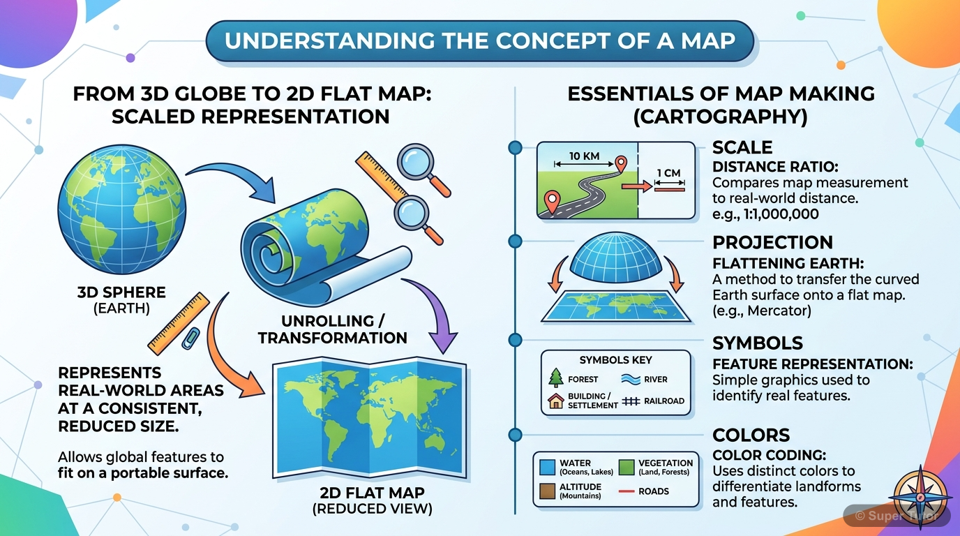
One of 9 illustrations for Interpretation of Topographical Maps-I in Super Tutor — alongside flashcards, concept maps and practice questions.
See them allFormulas and Key Relations
1. Map Basics
A map is a simplified, two-dimensional depiction of the whole or part of the three-dimensional earth, drawn using a system of map projections.
Scale = ratio between map distance and ground distance
2. Topographical Survey Maps
Representative Fraction (R.F.) scale of Survey Map G43SI0: 1 : 50,000
Map scale equivalence: 2 cm = 1 km
Full sheet with units and worked examples
View AllFrequently Asked Questions
What are the important topics in Interpretation of Topographical Maps-I for ICSE Class 10 Geography?
How many formulas are in Interpretation of Topographical Maps-I?
How should I revise Interpretation of Topographical Maps-I for the ICSE Class 10 board exam?
Sources & Official References
Content is aligned to the official syllabus. Refer to the board website for the latest curriculum.
More resources for Interpretation of Topographical Maps-I
Practice Quiz
Test yourself with a quick quiz
Important Questions
Exam-style questions with answers
Revision Notes
Key points for last-minute revision
Chapter Summary
Understand the chapter at a glance
Concept Maps
See how topics connect
Study Plan
Step-by-step plan for this chapter
Flashcards
Quick-fire cards for active recall
Syllabus
What topics to cover
For serious students
Get the full Interpretation of Topographical Maps-I chapter — start free.
Quizzes, flashcards, an AI doubt solver and a study plan for ICSE Class 10 Geography. Free to start, no card needed.